Airspace & Charts
How to Read FAA Sectional Charts for the Part 107 Exam (2026 Guide)
Published August 27, 2026 · Updated August 27, 2026 · Sky107 Team
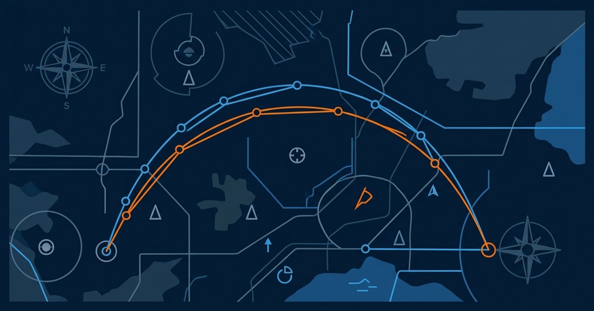
FAA sectional charts are the aeronautical maps you must master to pass the airspace questions on the Part 107 knowledge test. A sectional covers part of the United States at a scale of 1:500,000, meaning one inch on the chart represents about 6.86 nautical miles. It shows airports, airspace classes, terrain, obstacles, and frequencies that remote pilots need to plan safe flights. If you cannot read these symbols, the chart-based questions on the exam will trip you up. This 2026 guide explains everything you need to know.
What Is a Sectional Chart?
Sectional charts are the FAA's most detailed charts for visual (VFR) flying. They are named after a major city in their coverage area and are updated on a regular 56-day cycle. Every symbol, color, and abbreviation is explained in the legend printed along the chart border.
- The legend is your first study tool: it decodes airport symbols, airspace boundaries, obstacles, and terrain markings.
- On the exam, chart excerpts appear with questions about airspace, altitudes, and obstacle clearance.
Airport Symbols and Frequencies
Airport symbols tell you whether an airport is public, private, paved, or towered.
- Blue symbols are public-use airports with hard-surfaced runways, generally with an operating control tower.
- Magenta symbols are public-use airports with other-than-hard-surfaced runways or without an operating tower.
- Private airports are shown in magenta with the letters PVT.
- Military airports use abbreviations such as AFB and NAS.
Each airport has a data box with its name, elevation in feet MSL, runway lengths, and frequencies: tower (CT), ground (GND), CTAF, UNICOM, and weather (ATIS, ASOS, or AWOS). A tower frequency in the box means the airport has a control tower.
Airspace Classes at a Glance
Airspace is the heart of the chart-reading questions on the Part 107 exam. Each class has a distinct boundary line.
- Class B: solid blue lines around the busiest airports, typically from the surface up to 10,000 feet MSL.
- Class C: solid magenta lines around medium airports, typically from the surface up to 4,000 feet above the airport elevation.
- Class D: dashed blue lines around towered airports, typically up to 2,500 feet AGL; two-way radio communication is required to enter.
- Class E to the surface: dashed magenta lines around airports with instrument procedures.
- Class G: uncontrolled airspace, never outlined on the chart.
Boundaries are labeled with floors and ceilings in hundreds of feet MSL. For example, SFC/100 means the airspace runs from the surface to 10,000 feet MSL.
Class E and Class G, Explained
Class E is controlled airspace that usually starts at 1,200 feet AGL and extends upward. Around many airports it begins at the surface (dashed magenta) or at 700 feet AGL (magenta shading), and blue shading along chart edges marks where Class E starts at 1,200 feet AGL. Class G is uncontrolled airspace below the Class E floor.
Terrain, Obstacles, and MEF
Every quadrangle on a sectional shows a Maximum Elevation Figure (MEF): the highest terrain or obstacle in that square, rounded up to the next hundred feet and printed in feet MSL. A MEF of 32 means 3,200 feet.
Obstacles such as towers and antennas have their own symbols. Obstacles 1,000 feet or more above ground level are shown with the top elevation printed in feet MSL, which helps you judge clearance.
Remember the altitude difference: MSL (mean sea level) is height above sea level, while AGL (above ground level) is height above the ground. Airspace altitudes and MEF figures are in MSL.
VFR Waypoints
VFR waypoints are small symbols with five-letter names, such as CORKY, that give GPS-equipped pilots fixed reference points for routing. They are handy for describing planned routes and appear in FAA navigation publications.
How to Study Sectionals for the Exam
Chapter 4 of the sky107.com theory course covers airspace and charts in depth, with animated diagrams that make boundary lines easy to remember. Then drill yourself: the practice question bank includes 1,600+ questions in the official exam format, including chart-reading items. Use the study checklist to track your progress, and see the pricing plans for full access. Start with the full Part 107 study guide, then see how Remote ID and weather briefings fit into safe flight planning.
For the exam-level detail behind these symbols, work through our Sectional Charts and Aeronautical Symbols theory chapter.
Frequently Asked Questions
What scale is an FAA sectional chart?
Sectional charts use a scale of 1:500,000, which means one inch on the chart represents about 6.86 nautical miles. This scale lets pilots read airports, airspace, and terrain details easily during VFR flight planning.
What does MEF mean on a sectional chart?
MEF stands for Maximum Elevation Figure. It is the highest terrain or obstacle elevation in each chart quadrangle, rounded up to the next hundred feet and expressed in feet MSL. Pilots use it to judge terrain clearance.
How can I tell if an airport has a control tower on a sectional chart?
Towered public airports are shown in blue with hard-surfaced runways, and their data box lists a tower frequency (CT). Non-towered public airports appear in magenta and use CTAF for radio calls.
What is the difference between Class B, C, and D airspace lines?
Class B is outlined in solid blue, Class C in solid magenta, and Class D in dashed blue. Class B surrounds the busiest airports, Class C surrounds medium airports, and Class D surrounds smaller towered airports.
Are sectional charts on the Part 107 exam?
Yes. The knowledge test includes questions based on sectional chart excerpts, asking you to identify airspace classes, altitudes, MEF figures, obstacles, and airport information.
What is the difference between MSL and AGL?
MSL means height above mean sea level, while AGL means height above ground level. Airspace floors and ceilings and MEF figures are given in MSL, while obstacle clearance is often discussed in AGL.
Ready to pass the Part 107 knowledge test?
1,600+ FAA-aligned practice questions and 8 theory chapters with animated diagrams.